• Design • 1 min read
Maps for public transport users
Even if modern trains are getting more and more friendly to passengers, many of them are still terribly lacking if we consider this aspect, at least in Italy.
As I’m writing this post I’m travelling through Tuscany on the railway. I’m not familiar with the landmarks, the train doesn’t announce its stops and it’s dark outside, making it impossible to read the names of the stations until it’s too late to jump off.
If you have ever been in such a situation, you do certainly understand how annoying it can be.
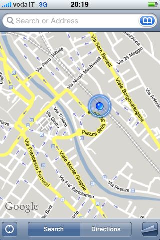
This is where mobile maps come to help: you just have to take a look at your phone and know instantly where you are.
Wouldn’t it be great if you could see stations, timetables and trains as well? Although it is one of the most challenging projects we can conceive, something like an interactive transport map certainly has the potential to be a killer application.
The only drawback… is that you’d certainly end up being distracted from the conversation with that pretty girl sitting next to you. 🙂